
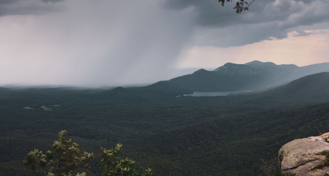
Here is a rain fact that surprises almost everyone: a raindrop is not shaped like a teardrop. Not even close. A falling raindrop looks more like a tiny hamburger bun.
And that is only the start. Before one drop of rain reaches you, it has been a puddle, an invisible gas, a speck of cloud, and one of millions of tiny droplets that had to team up. So why does it rain? Let’s follow one drop on its trip.
Step one: the water disappears
Every rainstorm begins with water that vanishes. The U.S. Geological Survey (USGS) explains that the sun’s energy causes liquid water to evaporate into water vapor, a gas you cannot see. Oceans, lakes, rivers, wet soil and even puddles all give some up.
The oceans do most of the work. NASA says evaporation from oceans, seas and other bodies of water provides nearly 90% of the moisture in our atmosphere. Most of the rest comes from plants, which release water vapor through their leaves.
That means a lot of the rain falling on your backyard may have started out in an ocean. It just took the sky route.
Step two: the vapor cools and turns back into droplets
When moist air cools, things change. NASA notes that in cool air, water vapor is more likely to condense from a gas back into a liquid, forming cloud droplets. “Condense” just means “turn from a gas into a liquid.”
But the vapor needs something to hang onto. According to USGS, precipitation begins when tiny water droplets condense on even tinier dust, salt or smoke particles. NOAA’s river forecast center describes the same idea: water vapor condenses onto small particles floating in the air, making dew, fog or clouds.
So every cloud droplet has a speck at its center. Dust, salt or smoke: the water gathers around it, and a cloud begins.
Step three: tiny droplets grow up
If cloud droplets are so small, why don’t clouds just rain all the time? USGS says cloud droplets are small drops of condensed water, and their fall speed is so low that updrafts, the rising currents of air inside a cloud, keep most of them aloft.
To make rain, droplets have to get bigger. They grow as more vapor condenses onto them and as they bump into each other and merge. Once a drop is heavy enough that it falls faster than the air is rising, down it goes.
NOAA’s river forecast center adds a neat detail. A falling drop leaves a turbulent wake behind it, and that wake lets smaller drops fall faster, so the bigger drop can overtake them and absorb them.
There is a second recipe, too. Inside cold clouds, ice crystals can grow quickly by using up the vapor around them. USGS says those crystals fall as snow or melt on the way down and arrive as rain. Some of the rain in a storm started out as ice.
What a raindrop really looks like
Now back to that bun. USGS says small raindrops, less than 1 millimeter in radius, are spherical. Larger ones take a shape more like a hamburger bun.
NASA’s Global Precipitation Measurement mission tells the story in order. A raindrop starts as a round cloud droplet. As it grows and falls, air pushes against it and flattens it, a bit like a tiny M&M candy. Keep growing, and the middle gets thinner until the drop breaks apart. USGS puts that breakup at a radius of roughly 4 to 4.5 mm (about 0.17 inch). Radius means the distance from the center to the edge, so the whole drop is about twice that wide.
The teardrop picture is just something we draw. A meteorologist quoted by USGS puts it this way: the teardrop is how popular culture draws rain, but real raindrops bear little resemblance to it.
How fast does rain fall?
It depends on the size. NASA says that in still air, a raindrop’s top speed grows with its size and reaches a maximum of about 10 meters per second (roughly 22 mph) for the largest drops.
NASA works out that a drop of that size falling from about 2.5 miles (4,000 m) up would need at least seven minutes to reach the ground.
The wider wonder: the same water, again and again
When the rain lands, the cycle starts over. USGS says water is stored in the oceans, in the atmosphere, on land and underground, and that it moves continuously among them. Solar energy and gravity drive the whole loop: the sun lifts the water up, and gravity brings it back down as rain, snow and hail.
Globally, the books balance. NASA says that on a global basis, evaporation approximately equals precipitation, so the total amount of water vapor in the air stays about the same.
Yet the sky holds surprisingly little water. NASA says water vapor is just a thousandth of 1% of Earth’s total water, while the oceans hold about 96.5% of it. The air stays full because it refills so often. NASA describes it as if all the water in the air were removed and replaced nearly 40 times a year. NOAA’s river forecast center gives a slower figure, saying water in the atmosphere is renewed about every 16 days on average.
Either way, the water in the air is swapped out about every 9 to 16 days, on average. Short trips are the rule up there.
A single rainstorm can add up fast, too. USGS figures that one inch of rain falling on a single acre adds up to 27,154 gallons.
Next time it rains, remember that the drops landing on your umbrella are little flattened buns, each one built from millions of specks of cloud.